Freelance Infographic Designers
Wednesday, September 9, 2020
Mapping Using Gis Techniques
About:
I offer the following Services for you :
Digitization of Point, Line and Polygon
Digital Elevation Model
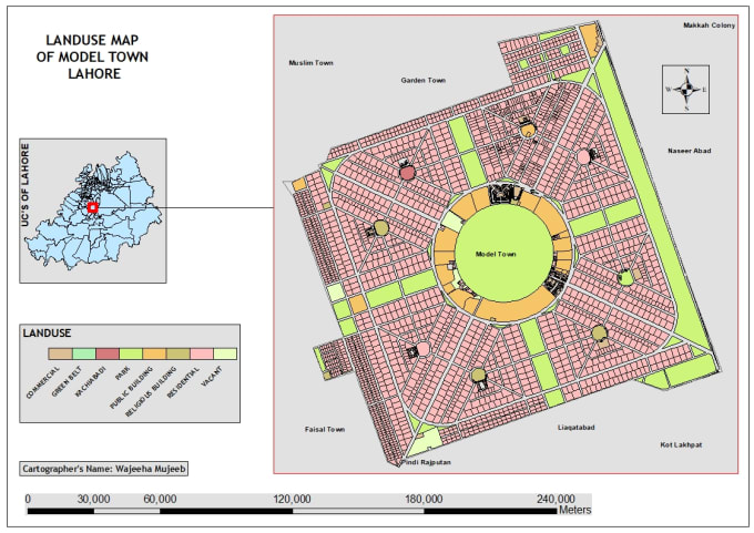
Land-use and Land cover Classification
Topographic Maps
Cartograms
and much more.
Reviews
: : : : :
No comments:
Post a Comment
Newer Post
Older Post
Home
Subscribe to:
Post Comments (Atom)
No comments:
Post a Comment